Tiphaine Buccino · 2023 — ongoing
Pretty
Noise
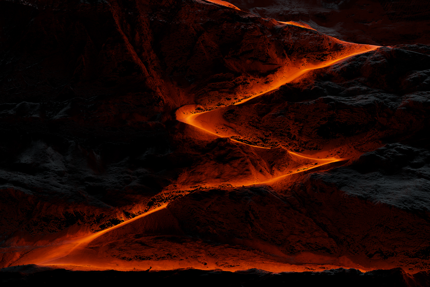
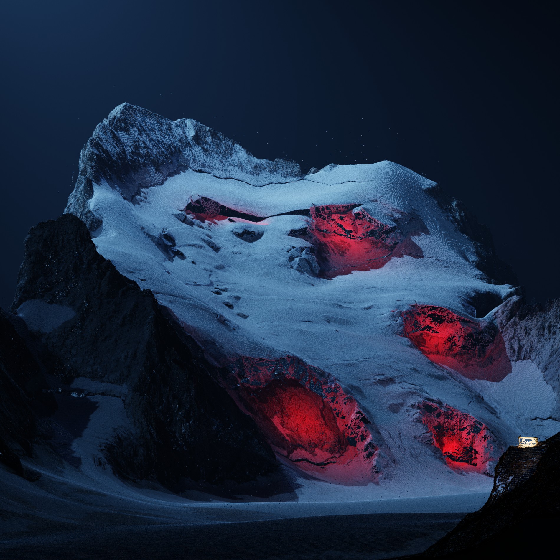
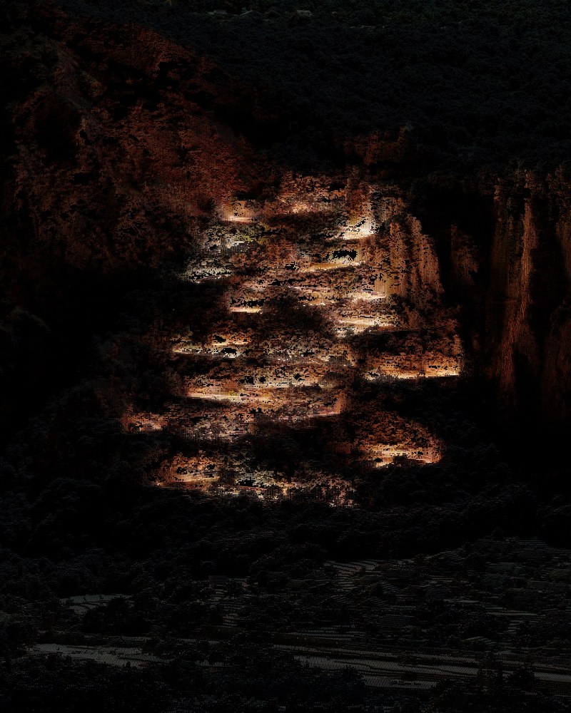
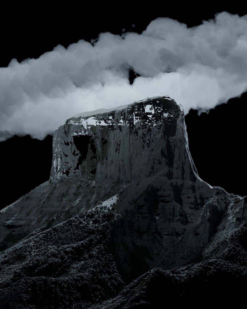
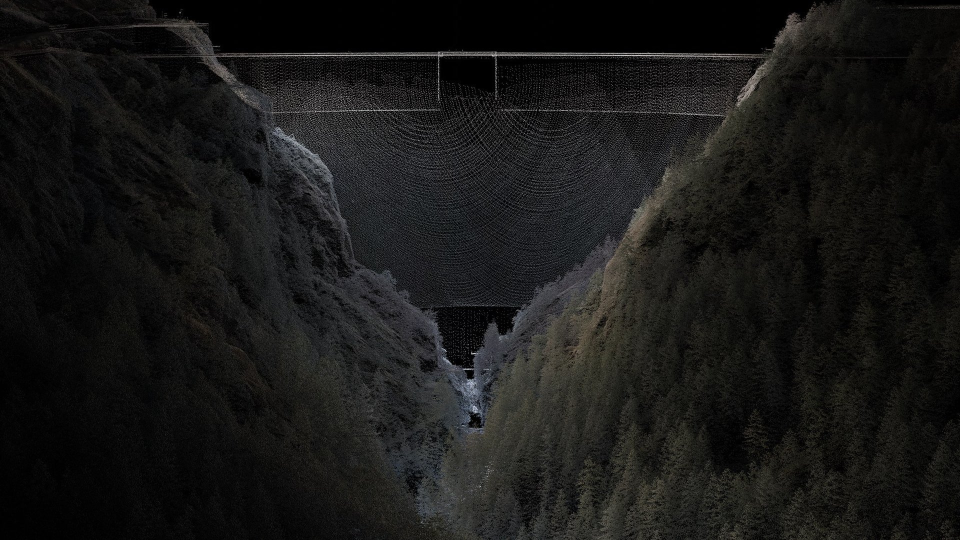
Large-format landscapes generated from IGN LiDAR scan data of French territory.
Enter the work
Scroll
Tiphaine Buccino · 2023 — ongoing
Large-format landscapes generated from IGN LiDAR scan data of French territory.
Enter the workFor twenty years my practice has been built around a single obsession: a dialogue between light and shadow, the explicit and the implicit. Between the stated and the feared.
Pretty Noise continues that practice through new means. Like my earlier series, these landscapes are empty of human presence — and yet something has clearly happened, or is about to. But the crime isn't just around the corner anymore.
What if the victim is right under my own feet? What if I am witnessing a crime of which I am the perpetrator? What if I was the victim, the judge and the savior all at once?
State of shock.
The time feels suspended before the void and the terror. The mountain doesn't move. Not for one. Here I oscillate between contemplation and overwhelm. Dissociation sets in — that particular state where I watch the world, fully present and utterly powerless. Spectator of the despair.
My practice consists of constructing seductive images, ones that lay the foundations of a nascent narrative, but leave vast sections unfilled, onto which each viewer projects their own story to produce a complete narration. I conceive my works as a starting point for reflection: a theme approached through seduction rather than demonstration, convinced that an image one wants to keep looking at works more deeply than one that explains.
Three axes structure this work. Anthropization first: I seek to show the impact of human presence on the surrounding landscape, our relationship with nature. My images are emptied of human figures, but always punctuated — at minimum — by a structure, by something of human origin. Narrative next: shadow treated as a space of freedom for the viewer. And finally, danger: those sensations of pursuit or flight, embodied in the play of light — and especially that halo, searching and threatening.
LiDAR works like sonar, but with light: a device fires infrared beams and times their return after impact.
Distance = (travel time ÷ 2) × speed of light
Millions of simultaneous beams draw a point cloud faithful to the real.
Over the past few years, the IGN — France's national mapping institute — has flown the entire country with airborne LiDAR: one point every 30 cm, across the whole territory. The data is public, open to anyone.
Based in Burgundy, France. Twenty years of photographic practice moving between documentary instinct and constructed fiction — always governed by the same question: what to show, and what to hide.
Pretty Noise (2024–ongoing) marks a shift from lens-based to synthetic image-making, while maintaining the same foundational concerns: composed light, hidden detail, landscapes that withhold as much as they reveal.